
By: Matt Setlack
Location: Starts at a large cross near Tri-City Estates (near the intersection of Highway 28 and Township Rd 632)
Distance: Approximately 10km but it varies greatly depending on how long your session is and can be as long as you want it to be
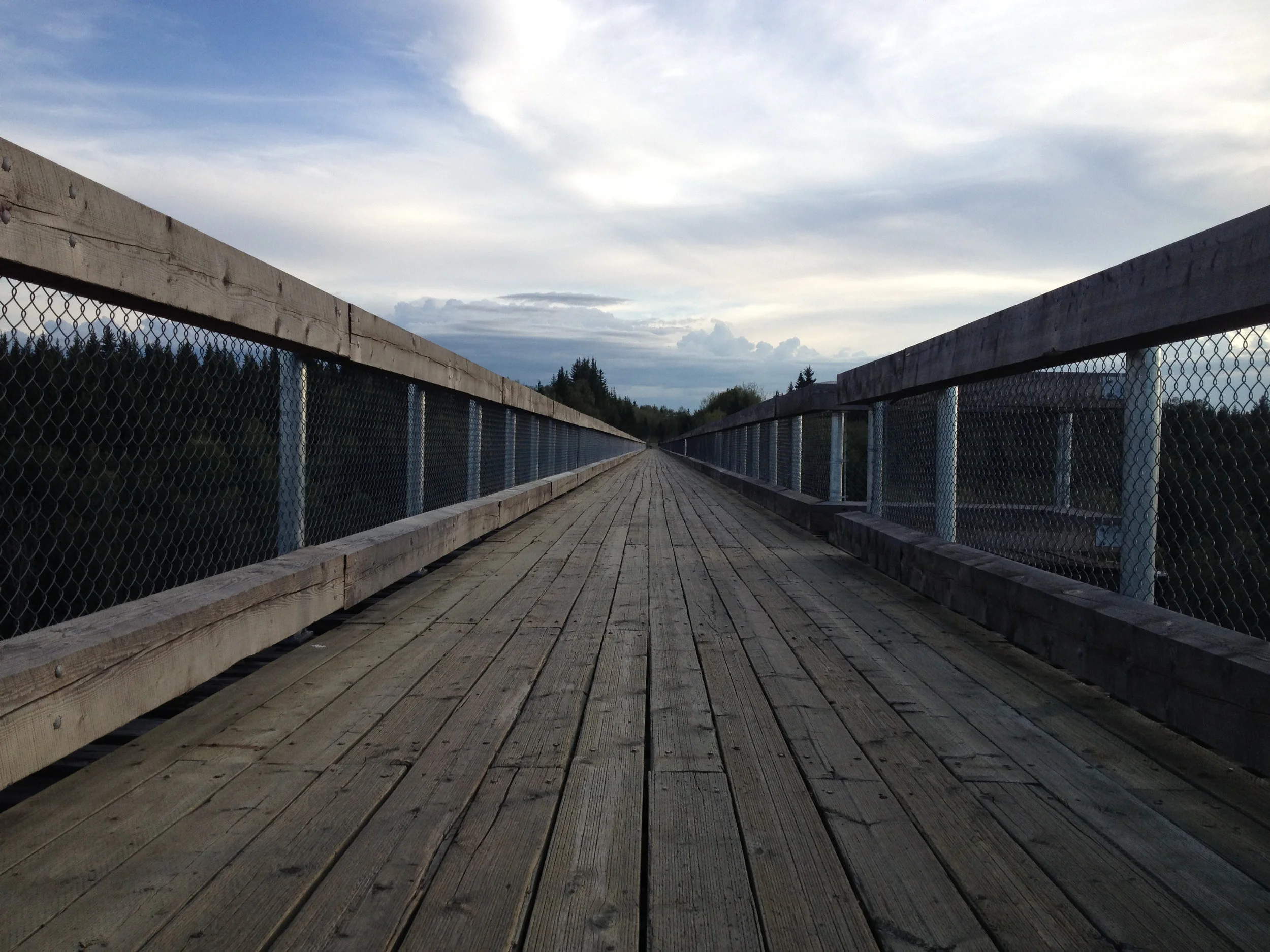
Surface: Smooth, relatively soft, minimally cambered pavement
Country Lane Estates is one of the fastest places to run in Cold Lake. It is my go-to location for doing workouts such as tempo-pace and interval-pace sessions. This is not really the place to go and do an easy run but it is the perfect place to do a fast workout. The arrows on the map above designate the route that I typically follow. I find that this is the safest and fastest route since you don't have to cross over the road at all (except once for the 180 degree turnaround).

Running north on Range Rd 423.
I usually start my session at the cross (see map above and photo below). If you rode your bicycle here, you can lock it up around the fence. One of the reasons I like starting at the cross is because there is a slight downhill when running west before crossing over the creek.

Large cross marks the start point.
This is an amazing place to do fast running workouts. The surface of the road is smooth and clean so you can wear thin, light flats and not have to worry about stepping on rocks or gravel.
The slight downhill just west of the large cross.
The road has minimal camber. Camber is the curved cross-section of the road (i.e. the road is highest in the middle and lower at the shoulders - this allows water to run off and not pool in the middle), Zero camber is ideal for running. I believe that running on a road with less camber means that you are much less likely to get injured and sustain overuse injuries. I generally run facing traffic for the first half of the workout and run with traffic for the second half of the workout. Having a bicycle pacer with front and rear lights allows motorists to see you better.

One of the residential areas that you run through.
The road pavement is relatively soft but not too soft. After running 6,000km per year for many years, you develop a very good sense of how hard a surface is to run on. I can say that the surface of the road in Country Lane Estates is pretty much ideal.

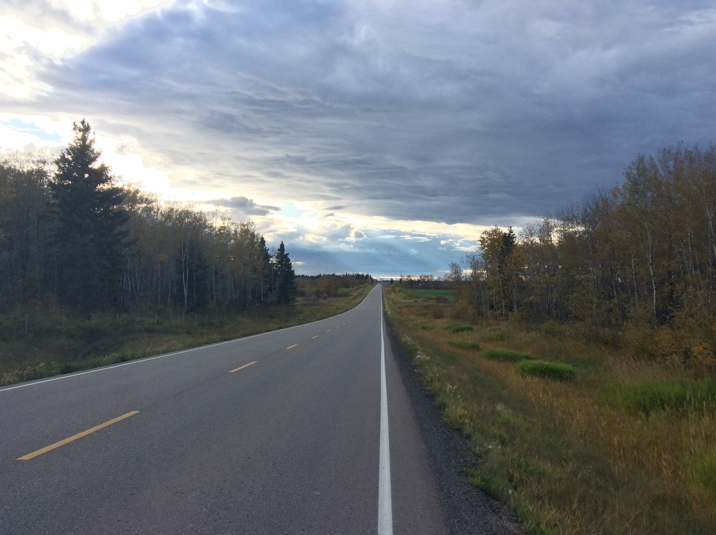
Typical view looking south from Township Rd 632
The entire circuit around Country Lane Estates is extremely flat! There is minimal motorized traffic and the speed limit is mostly 50 kph. Motorists are very courteous.

Looking north on Range Rd 423
It is extremely beneficial to have a friend on a bicycle who can pace you. I recommend that the cyclist have a bright white blinking light in front and a blinking red light in the back. The cyclist will also block the wind for you too. It is much easier to maintain a fast pace with a cyclist setting the pace rather than running completely by yourself.

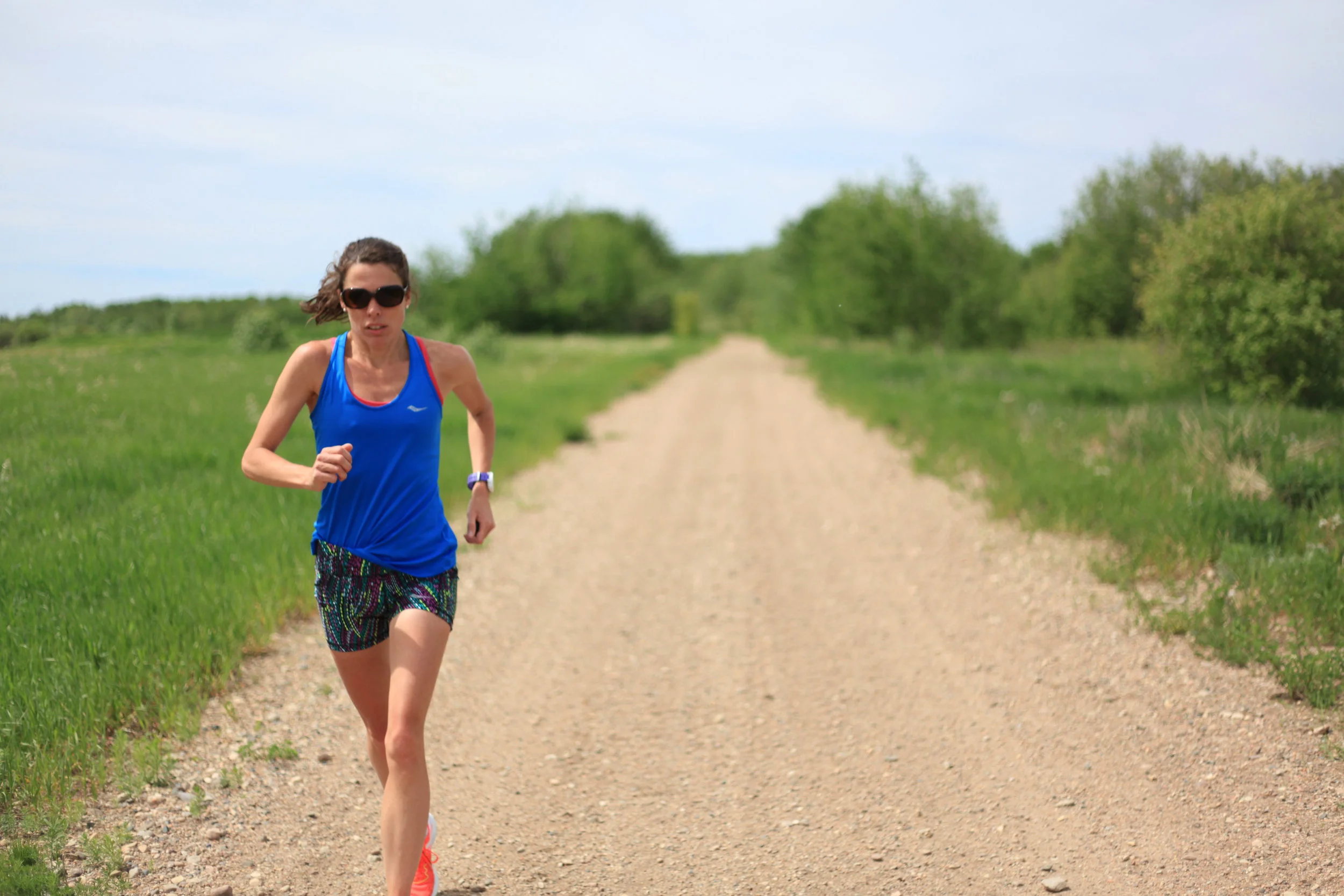
Matt and Emily training together
Advice: I would not recommend running here during rush hour traffic but it is really nice to run here on the weekends. Wear a bright colour of shirt like fluorescent orange or fluorescent yellow. This allows motorists to see you. Remember, "an ounce of prevention is worth a pound of cure".
Stay tuned for Matt's Favourite Run #5!